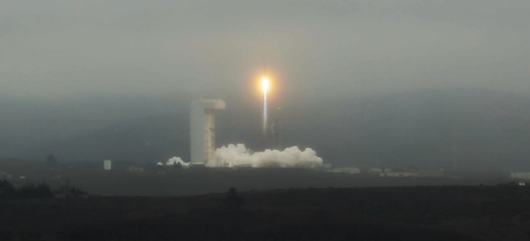
NASA’s Surface Water and Ocean Topography (SWOT) mission that launched in 2022 provides high-resolution (~200 meters) global maps of surface freshwater, including rivers, lakes, and wetlands. SWOT data enables detailed monitoring of freshwater changes, providing insights into river and lake elevations, river width, slope, and discharge, and NASA offers free training in their use.
NASA’s training course will introduceSWOT freshwater data products and demonstrate their applications in water resource management and disaster response.
Learn more at nasa.gov, or register at the link below.