Hi Carlos, I am interested in the mitigation of soil erosion through “community installed field terracing” in technology-poor locations in Southern Africa. I am not a trained physical engineer, but an information system engineer, but have done quite a bit of house construction. I am also working with a few hundred people who are certified riggers, but are precariously employed. They also have some skills in casting reinforced concrete beams, and are geographically mobile. I want to diversify their talents to help subsistence communities to get more value from their land by enabling durable terracing at low cost. Unskilled labour is in abundance in these communities, and in the SADEC (Southern Africa Development Community) countries both cement and steel are relatively inexpensive. What is needed is an application, probably a suite of applications, which are able to take ground conditions (soil profile, topology, rainfall characteristics and extremes, and climate etc.) and guide a technician in laying out contour terraces, barrier engineering needs and construction material requirements. In which barriers are based on an open lattice pattern of reinforced posts and beams, set deep into the slope, and the ‘infill’ is achieved through a combination of waste plant material and living perennials with strong root structures. In many locations there are quantities of steel associated with old mine workings. These could be a very low cost steel resource if the inevitable rust present would not be a hindrance to achieving the beam strength required, when incorporating the steel into the beams. I would not expect these beams would require to be pre-stressed, and are not expected to hold up unstable steep slopes. They would not be used in a safety-critical structural context, but to stabilise soil-erosion and facilitate moisture retention in the soil. In some geologic regions there is also an abundance of laterite, which when crushed is able to be recombined with sand and a small amount of cement to make a type of concrete. This is suitable for road construction and may well be suitable in some beam applications. It is certainly useful in the making of concrete blocks, both hollow and solid. These can also be used in terrace barrier walls to supplement and provide a firm, yet porous, framework for organic in-fill. My request to you, is to ask your advice in approaching this project. Also, to ask where I might find good reference information, or experienced people, in any of the subject areas I have mentioned. Is this something with which you would like to have some degree of involvement in future? Best regards Rob Jarvis, FRSA (cyfahead@gmail.com)
About this Webinar: This webinar will focus on the development of a telehealth system to improve the lives of rural Nicaraguans in the communities surrounding the town of Waslala...
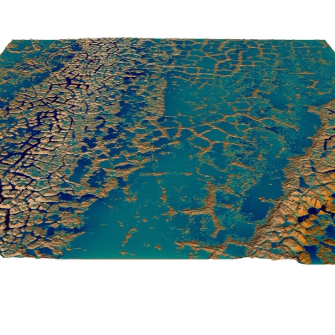

Hi Carlos, I am interested in the mitigation of soil erosion through “community installed field terracing” in technology-poor locations in Southern Africa. I am not a trained physical engineer, but an information system engineer, but have done quite a bit of house construction. I am also working with a few hundred people who are certified riggers, but are precariously employed. They also have some skills in casting reinforced concrete beams, and are geographically mobile. I want to diversify their talents to help subsistence communities to get more value from their land by enabling durable terracing at low cost. Unskilled labour is in abundance in these communities, and in the SADEC (Southern Africa Development Community) countries both cement and steel are relatively inexpensive. What is needed is an application, probably a suite of applications, which are able to take ground conditions (soil profile, topology, rainfall characteristics and extremes, and climate etc.) and guide a technician in laying out contour terraces, barrier engineering needs and construction material requirements. In which barriers are based on an open lattice pattern of reinforced posts and beams, set deep into the slope, and the ‘infill’ is achieved through a combination of waste plant material and living perennials with strong root structures. In many locations there are quantities of steel associated with old mine workings. These could be a very low cost steel resource if the inevitable rust present would not be a hindrance to achieving the beam strength required, when incorporating the steel into the beams. I would not expect these beams would require to be pre-stressed, and are not expected to hold up unstable steep slopes. They would not be used in a safety-critical structural context, but to stabilise soil-erosion and facilitate moisture retention in the soil. In some geologic regions there is also an abundance of laterite, which when crushed is able to be recombined with sand and a small amount of cement to make a type of concrete. This is suitable for road construction and may well be suitable in some beam applications. It is certainly useful in the making of concrete blocks, both hollow and solid. These can also be used in terrace barrier walls to supplement and provide a firm, yet porous, framework for organic in-fill. My request to you, is to ask your advice in approaching this project. Also, to ask where I might find good reference information, or experienced people, in any of the subject areas I have mentioned. Is this something with which you would like to have some degree of involvement in future? Best regards Rob Jarvis, FRSA (cyfahead@gmail.com)