Agriculture
May 24, 2024
Abalobi
Read SolutionImplemented by
Abalobi
Updated on June 12, 2024
·Created on November 17, 2019
Agrieye is an AI technology for land farming that uses remote sensing and soil analyses.
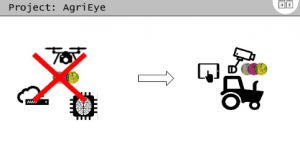
Agrieye combines technologies of remote sensing and soil analyses to help increase efficiency to land farmers. The multi-spectral 5 band camera is used for precision and accurate measurement for agriculture. The Unmanned Aerial Vehicle (UAV) is used for quick scanning, which monitors up to 2000 hectares per day with a high ground resolution of 5 sm per pixel. The company is developing a platform where members of the public can access maps, data storage and access via a multi layer GIS cloud platform that does not require any specific software for user access.
Target SDGs
SDG 12: Responsible Consumption and Production
SDG 1: No Poverty
Market Suggested Retail Price
$400.00
Target Users (Target Impact Group)
Household
Distributors / Implementing Organizations
Agrieye
Regions
Worldwide
Manufacturing/Building Method
N/A
Intellectural Property Type
Trademark
User Provision Model
Unknown
Distributions to Date Status
Unknown
Drone type
Quadrocopter
Weight (kg)
Unknown
Take off / Landing type
Unknown
Carry case dimensions (m)
Unknown
GNSS system
Unknown
Flight time (hour)
0.3 hrs
Cruise speed (km per hour)
17.56 km/hr
Battery type
Unknown
Sensors available (Y/N)
Yes
Type of data collected
Image processing, remote sensing
Drone software platform
Unknown
Application
Remote sensing
Design Specifications
Unknown
Product Schematics
Technical Support
Users can contact the manufacturer at info@agrieye.io
Replacement Components
Unknown
Lifecycle
Unknown
Manufacturer Specified Performance Parameters
This product was designed to be used by small and medium farmers with the goal of reducing the cost of the high tech device and making farming more efficient.
Vetted Performance Status
Research was conducted by Carnfield and G's Growers. Further contract research and consultancy was commissioned by G's to determine key performance indicators for lettuce. It was determined that remote sensing data collected by Agrieye can be used to extract information such as plant counts, sizing, and crop growth and development.
Safety
There are no known safety hazards related to this product.
Complementary Technical Systems
Unknown
Academic Research and References
Okayasu, T., Yoshida, H., Nugroho, A. P., Mitsuoka, M. and Inoue, E., 2012, Feasibility Study on Informatization Agricultural Supporting System and Evaluation of Its Validity, Research Gate, pp. 267295397.
“Agrieye.” n.d. Agrieye.Tech. Accessed June 12, 2024. https://agrieye.tech/
“Agriculture Industry.” n.d. Trimble.Com. Accessed June 12, 2024. https://www.trimble.com/en/solutions/industries/agriculture
“Drones.” 2022. AgEagle Aerial Systems Inc. July 7, 2022. https://www.sensefly.com/solutions/drones/
“Precision Vine – En – DRONE-BASED TECHNOLOGIES TO INFORM WINEMAKING DECISIONS.” n.d. Precisionvine.Com. Accessed June 12, 2024. http://www.precisionvine.com/en/home-page/
“Goal 12.” n.d. Sdgs.Un.Org. Accessed June 12, 2024. https://sdgs.un.org/goals/goal12
Compliance with regulations
Unknown
Evaluation methods
The product was evaluated for its ability to extract information about growing conditions, including plant counts and sizing.
Other Information
None
Agriculture
May 24, 2024
Implemented by
Abalobi
Agriculture
February 24, 2024
Implemented by
Compatible Technology International
Agriculture
January 19, 2024
Implemented by
Godrej
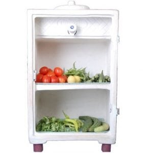
Agriculture
December 26, 2023
Implemented by
MittiCool
Agriculture
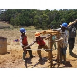
January 10, 2024
Implemented by
Southern Highlands Participatory Organisation (SHIPO)
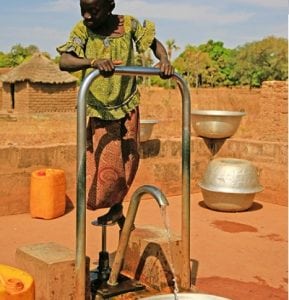
Agriculture
December 27, 2023
Implemented by
Vergnet-Hydro

Agriculture
August 22, 2024
Implemented by
Farmers Hope
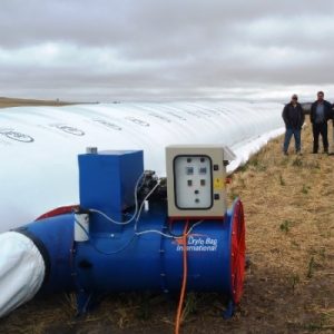
Agriculture
January 22, 2024
Implemented by
Drylobag International
Agriculture
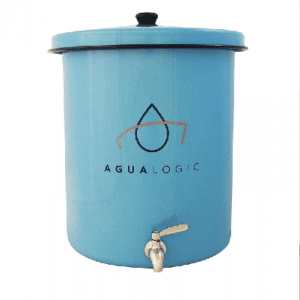
December 7, 2023
Implemented by
Agualogic
Agriculture
December 7, 2024
Implemented by
Devergy
Have thoughts on how we can improve?
Give Us Feedback